


The Enderlin, North Dakota Tornado

The Enderlin, North Dakota tornado that caused 3 fatalities on June 20, 2025 has officially received a preliminary rating of an EF-3. If you’re wondering which tornado this was, its the one below.

Now, in the immediate aftermath of this tornado, there was a huge outcry, as per usual, that it would be the tornado that broke the EF-5 drought. It has officially not, and there was never a chance that it was going to. There were several photos that were used to say it was going to be an EF-5. They are below


The first photo shows a home that has been mostly swept away. The second photo shows a home that has been at least mostly collapsed. Based on the few close up photos I can find from the top photo it appears that it was not well built which is why it received an EF-3 rating. Granted, NWS Grand Forks issued a DoD of 10 for this damage which is a confusing choice because they gave the overall tornado a 160 mph rating. If you look below, the DoD 10 for one and two family homes has a lower bound of 165 mph and an upper bound of 210 mph.

That DoD 10 could still be given an EF-3 rating as 165 mph is very top end EF-3 as shown in the EF chart below.
I can agree with the EF-3 rating, but what I disagree with is the 160 mph estimated windspeeds while also using the DoD of 10 for the rating.
I’d also agree that the surrounding damage to the trees does not correlate to an EF-5 rating. I could see low end EF-4, but I’m also in agreement with EF-3. The only issue I have is using the DoD of 10 for that house but not providing a proper wind speed estimate.
The second photo is classic EF-3 damage.
I think part of what made the EF-5 hype so high around this tornado was the footage from the ring camera and that it looked incredible and also, once again, the debris was examined before daylight.
Always, always, always, wait until daylight the next day before doing damage assessment. It always looks worse by flashlight.
This tornado also had a pretty significant presentation on radar as seen below.
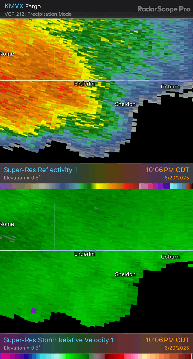
But as we know, radar presentation does not equal tornado strength.
I do think, had this tornado hit a more populated area it likely would have been significantly worse.
You can see the entire NWS Grand Forks assessment of this tornado below.

Thank you all for reading!